The event kicks off the Commission’s program for the next Comprehensive Waterfront Plan. The Department of City Planning has announced a Waterfront Planning Camp for Saturday, August 17th. The camp will be hosted at Nolan Park on Governors Island and is open to all ages, free of charge. As it begins the process of crafting the future of the City’s 520 miles of waterfront, City Planning is inviting New Yorkers to participate in … <Read More>
Department Of City Planning
DCP Launches Citywide Map for Supermarkets
Newest interactive tool helps communities evaluate supermarket needs. On August 2, 2019, the Department of City Planning launched the Supermarket Needs Index, a new interactive online map that shows fresh food store access across New York City. The map highlights which neighborhoods are underserved or lacking grocery store options.
Digital Zoning Resolution Updated to Include Full Legislative History
The update includes legislative history dating from 1961. On June 19, 2019, the Department of City Planning announced an update to the online Zoning Resolution that provides the code’s legislative history. Earlier this year, DCP launched the digital Zoning Resolution online platform, which replaced the paper edition. The digital version provides users with the ability to use keyword searches, one-click sharing, navigation, and the option to subscribe for updates. This legislative history update provides information … <Read More>
DCP Announces New NYC POPS Logo
The winning logo was chosen from 607 submitted designs from around the world. On May 20, 2019, the Department of City Planning, the Advocates for Privately Owned Public Space and the Municipal Art Society of New York unveiled the new NYC POPS logo, which will be displayed at all 550 POPS locations across the city.
City Planning Creates Plan Responding to Bushwick’s Rapid Development
The plan will address community concerns including affordable housing, open space, transportation safety, and economic development. On April 24, 2019, Department of City Planning Director Marisa Lago released the Bushwick Neighborhood Plan Update. The plan was created in response to the neighborhood’s rapid development, population growth, resident displacement, and lack of affordable housing from an increase in market-rate construction.
City Planning Releases Digital Mapping Tool for Applicants
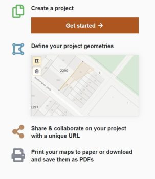
The new free self-service map tool increases accessibility for the public and smaller owners and developers. On Thursday, April 11, 2019, the Department of City Planning Director Marisa Lago announced the release of a free, easy to use digital mapping tool that allows the public, smaller property owners and developers to build quality land use maps for their applications to the City Planning Commission for zoning changes. Prior to the release of this tool, creating … <Read More>


